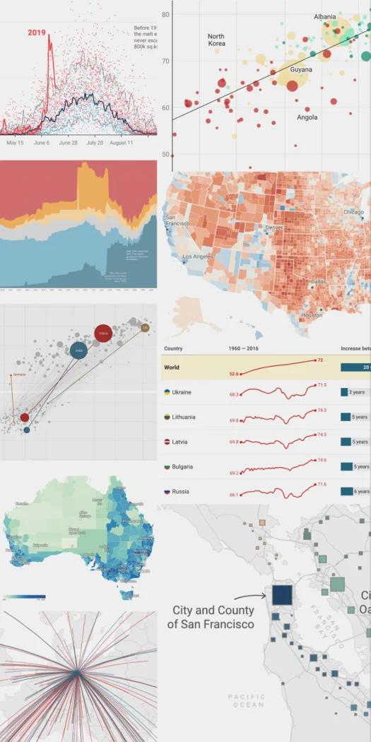

Datawrapper
Analytics
Publish charts, maps and tables for readers on the web
Editorial discoveryFreemium

0 props
Be the first to give Props.
 Full size
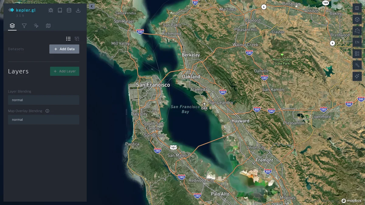
kepler.gl is a browser-based tool for exploring geospatial datasets on interactive maps. Import a supported dataset, configure map layers and filters, and use color or time to highlight a pattern in the records. It is useful for inspecting journeys, service locations, or geographic trends before preparing a report. Confirm the coordinate system and field meanings before interpreting the map, especially when data comes from multiple sources or includes timestamps collected in several different time zones.
Good products deserve a good conversation.
Be the first to start one.
Analytics
Publish charts, maps and tables for readers on the web

Analytics
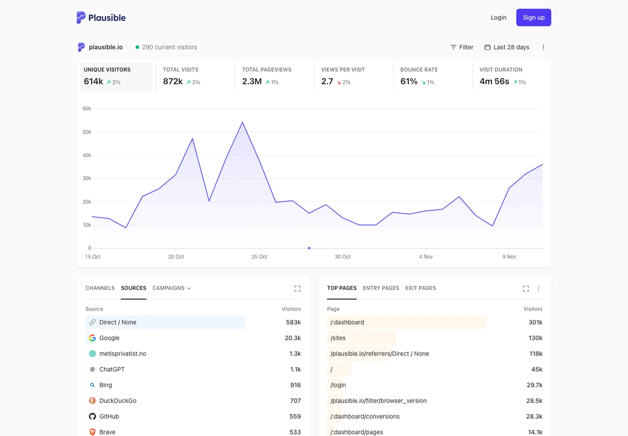
Privacy-friendly website analytics with goals and referrer reports

Analytics
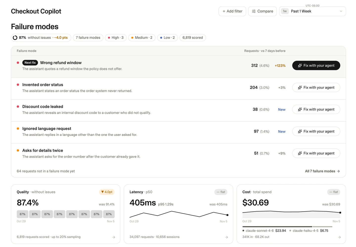
Find recurring failures in live AI conversations