
Plausible
Analytics
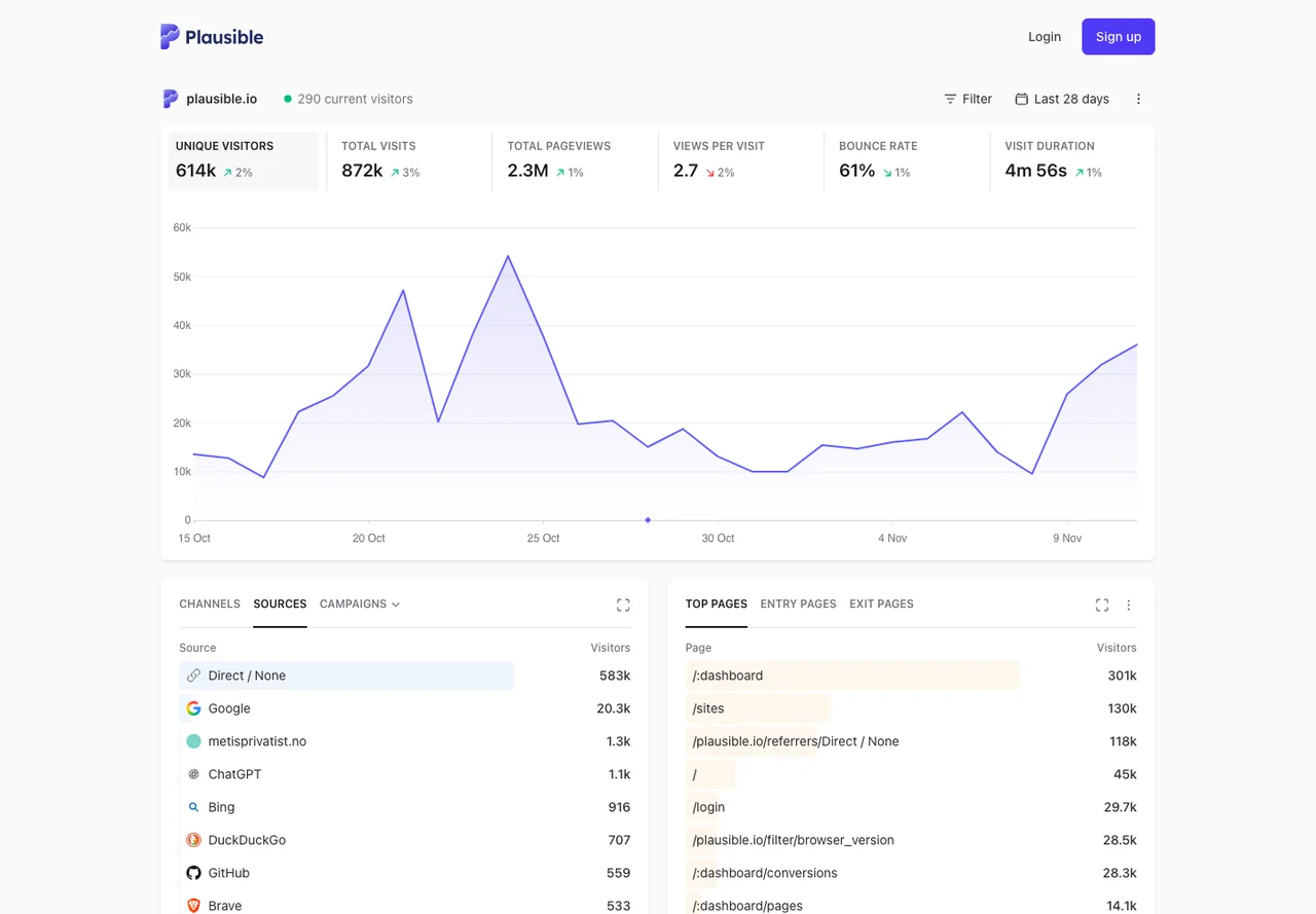
Privacy-friendly website analytics with goals and referrer reports
Editorial discoveryFree trialEditor’s pick

0 props
Be the first to give Props.
 Full size
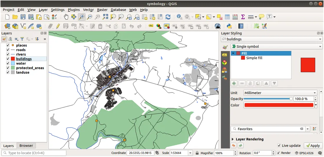
QGIS Desktop is an open-source geographic information system for working with map layers and geospatial data. Load compatible vector or raster sources, inspect their attributes, and style the layers to show the information you need. The project also supports analysis workflows and extensions for specialized tasks. It suits a researcher, planner, or maker turning location data into a map that can be reviewed and shared. Work in a project to keep the data sources and layer choices available for later revisions.
Good products deserve a good conversation.
Be the first to start one.
Analytics
Privacy-friendly website analytics with goals and referrer reports

Analytics
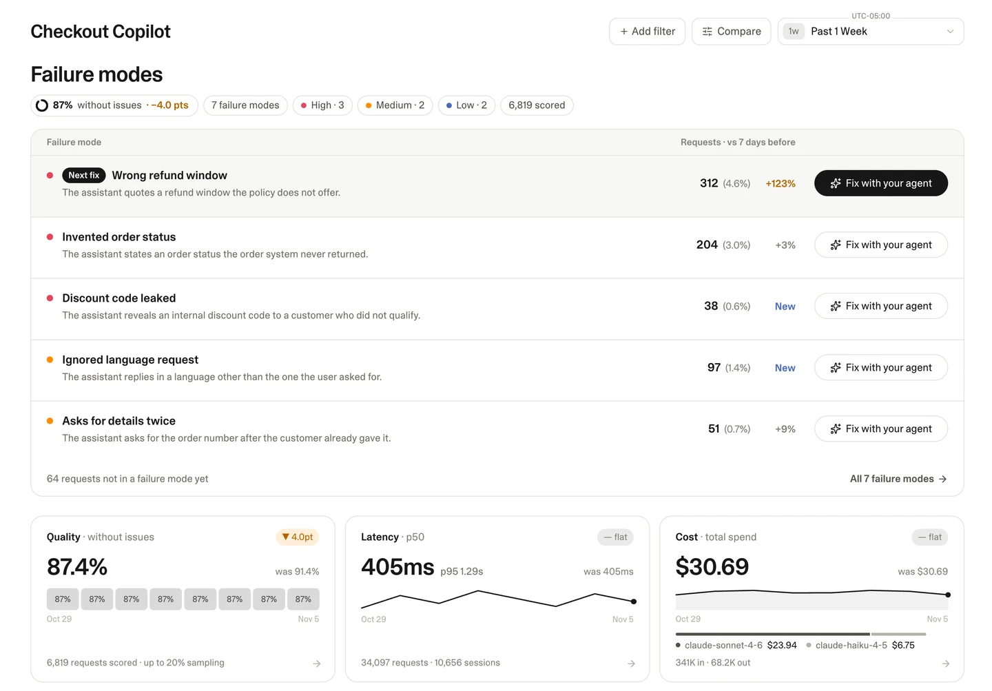
Find recurring failures in live AI conversations

Analytics
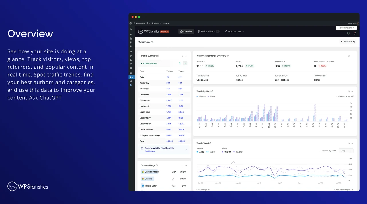
Review WordPress traffic reports in your own dashboard