

BookPlayer
Learning
Listen to audiobooks from your files or personal server.
Editorial discoveryOpen source

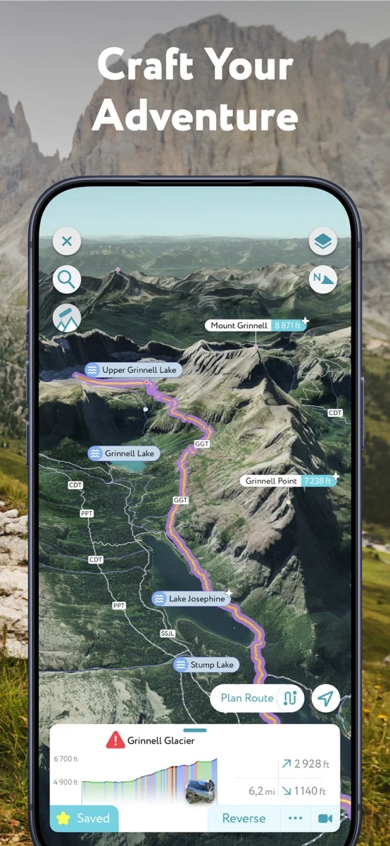
Identify mountain peaks and explore nearby terrain in three dimensions.
Ver en español0 props
Be the first to give Props.
 Full size
PeakVisor is an outdoor mapping app from Routes Software. It uses a camera-based augmented reality view to identify nearby peaks and can display mountain terrain in three dimensions. Trail and GPS features help users explore routes and understand the shape of the terrain around a walk or ski outing.
Use the 3D map to get a sense of the landscape before an outing, then compare the peaks you see with the identification view. It is useful for people curious about the mountains around a route. The identification view can put names to unfamiliar ridgelines and give you a useful reference for a photo taken along the way.
Good products deserve a good conversation.
Be the first to start one.
Learning
Listen to audiobooks from your files or personal server.


Learning
Listen to audiobooks from a personal Plex or Audiobookshelf library.


Learning
Practice pitch and rhythm with a tuner that shows your pitch over time.