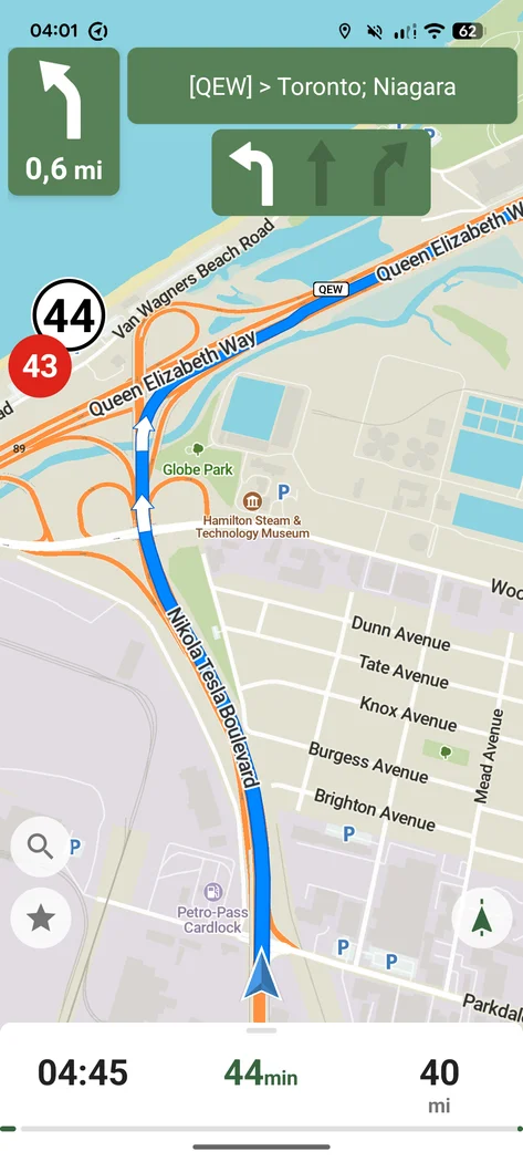

CoMaps
Productivity
Plan offline routes on a community-led OpenStreetMap app
Editorial discoveryOpen source

0 props
Props are a thank-you from members.
 Full size
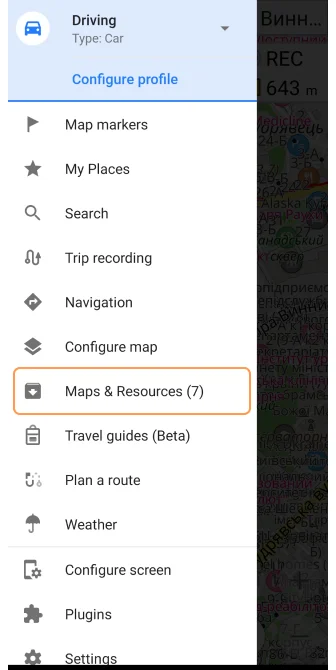
OsmAnd provides offline mapping and navigation using OpenStreetMap data. Download a region, choose a profile for the way you are traveling and compare what changes in the route and map display. People who work with GPX tracks can use a small route file to check how import and navigation fit together on their device. The available layers and settings give you control when a general-purpose map feels too limited. Compare features and download allowances for the edition you intend to use. Prepare maps and any needed files before travel, and confirm access restrictions or trail conditions separately.
Good products deserve a good conversation.
Be the first to start one.
Productivity
Plan offline routes on a community-led OpenStreetMap app

Productivity
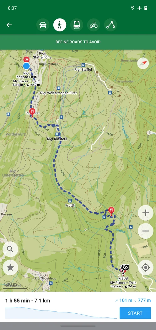
Download maps for walking, cycling and driving without a signal

Productivity
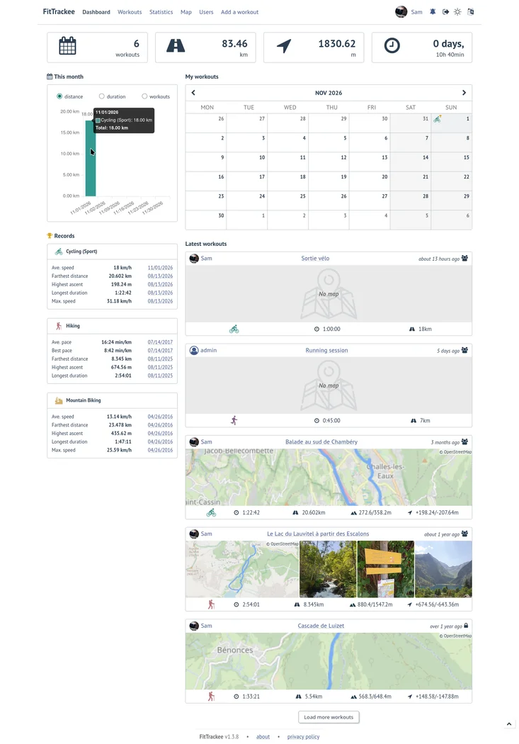
Store and explore GPX activity records on your own server