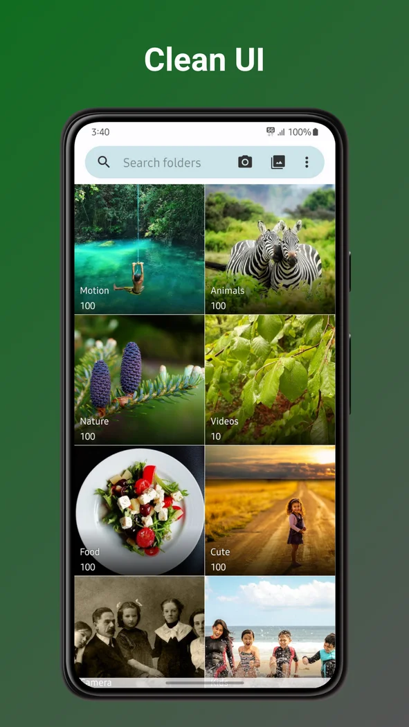

Fossify Gallery
Design
Browse local Android photos and make quick edits before sharing
Editorial discoveryOpen source
0 props
Props are a thank-you from members.
 Full size
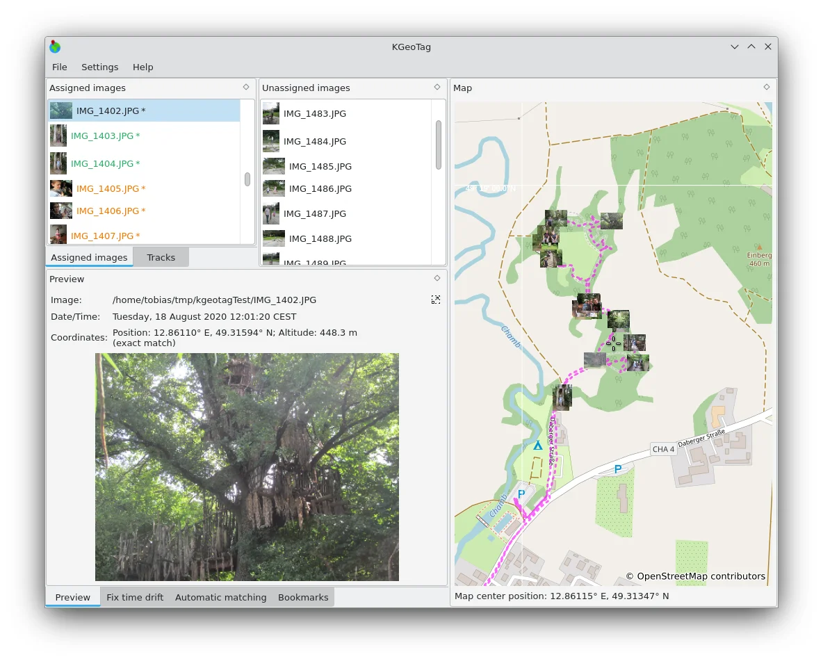
KGeoTag is a desktop utility for adding location information to photos. Load a GPX track and match images to its location data, or put individual photos on a map by hand. You can save coordinates in EXIF metadata, in XMP sidecar files or in both. This is useful for organizing travel photos or a fieldwork collection where location helps explain an image. Compare a few assigned locations with places you recognize, and check what location data will travel with the files before sharing any copies publicly.
Good products deserve a good conversation.
Be the first to start one.
Design
Browse local Android photos and make quick edits before sharing
Design
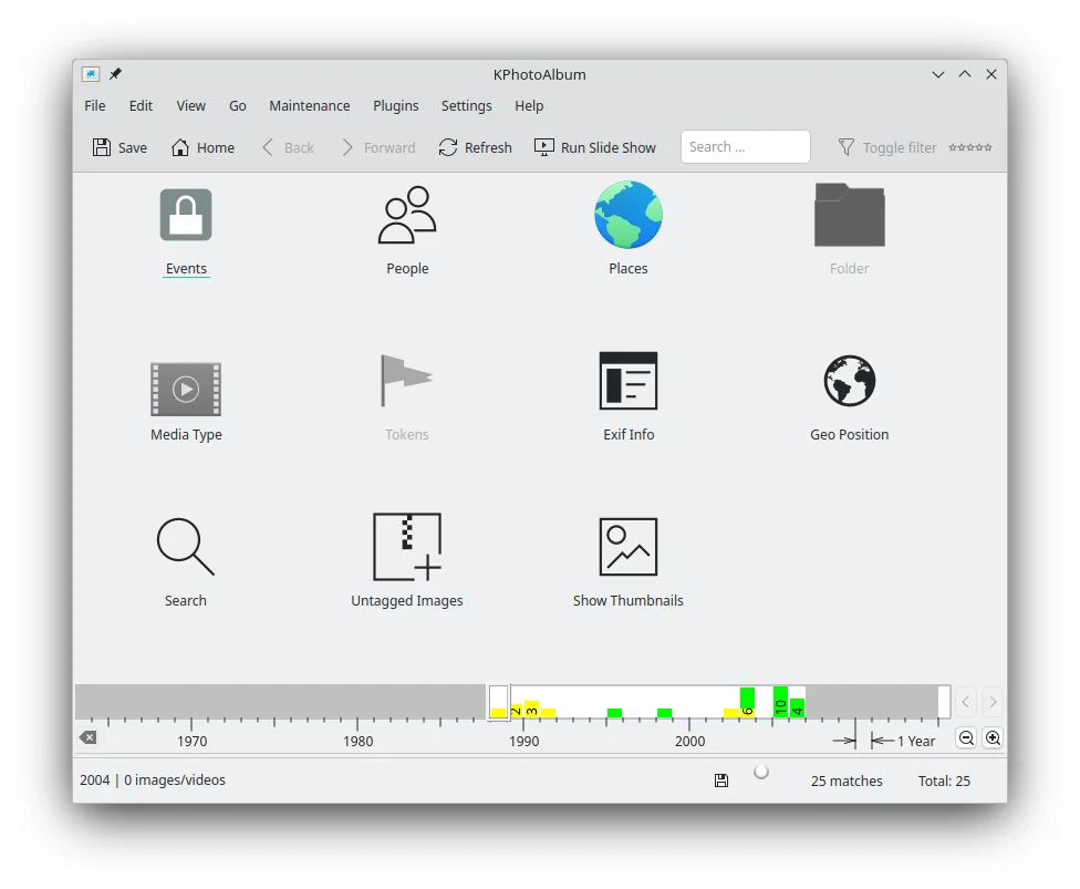
Tag a photo collection so you can find images again
Design
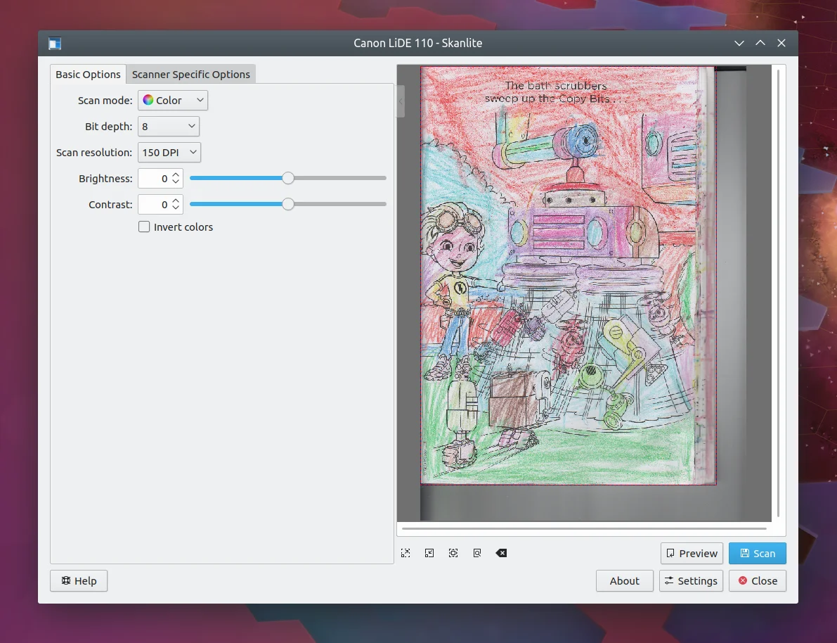
Scan photos, prints and supported film into separate images